Đavolja Varoš: Serbia's Devil's Town
Serbia's Devil's Town (Đavolja Varoš): 200-odd andesite-capped earth pyramids and two acid springs on Radan Mountain, plus tickets, hours and how to visit.
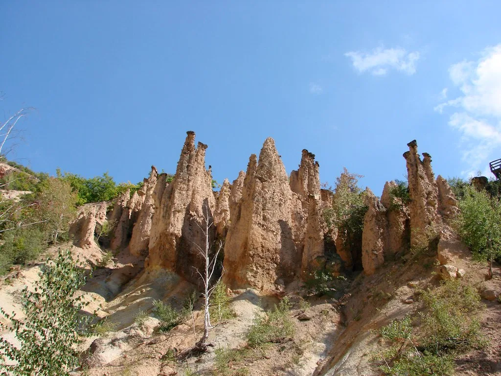
Đavolja Varoš, or Devil’s Town, is a field of roughly 200 stone-capped earth pyramids on Radan Mountain in southern Serbia, where centuries of erosion have left a forest of pale columns that lean and cluster like a crowd frozen in mid-step. Each tower stands between two and fifteen metres tall, and almost every one wears a dark block of hard rock on its head like a hat, which is the whole trick behind why they exist at all. Two springs of startlingly acidic, mineral-red water sit right beside them, and the strangeness of the place is exactly why local folklore decided the devil had a hand in it. It is one of Serbia’s odder natural monuments, it has been on Serbia’s UNESCO waiting list since 2002, and it rewards the effort of getting there far more than the short walk around it suggests.
Distance is the sticking point. This is deep southern Serbia, a long way from Belgrade and not on the way to much else, so the first question is really whether it fits your trip at all. From there we get into the geology in plain terms, the legends the site has attracted, the practical business of tickets and seasons, and how to reach a spot with no train station and no bus stop at the gate.
What exactly is Đavolja Varoš?
Strip away the folklore and Devil’s Town is a textbook case of differential erosion, which is a dry name for a genuinely photogenic process. Millions of years ago this corner of Radan Mountain saw heavy volcanic activity, leaving the ground a mix of soft volcanic tuff and loose sediment topped here and there by blocks of hard andesite. Rain and meltwater have spent a very long time washing the soft material away, and wherever a chunk of andesite happened to sit on top, it acted as an umbrella: the column directly beneath it stayed protected while everything around eroded down. What you see today is the slow-motion result, a thicket of narrow earth pillars each preserved by the stone cap balanced on it.
The numbers usually quoted are 202 towers, standing anywhere from 2 to 15 metres tall, with bases around 4 to 6 metres across narrowing to a metre or two at the top. Treat the exact count as approximate rather than gospel; these are living landforms, and the site itself gains and loses pillars over the years as caps topple and new columns emerge. Serbia’s claim to fame here is scale. Earth pyramids of this kind exist in a handful of places worldwide, but Đavolja Varoš is generally reckoned to have both the most numerous and the tallest, which is a large part of why it made the UNESCO tentative list in the first place.
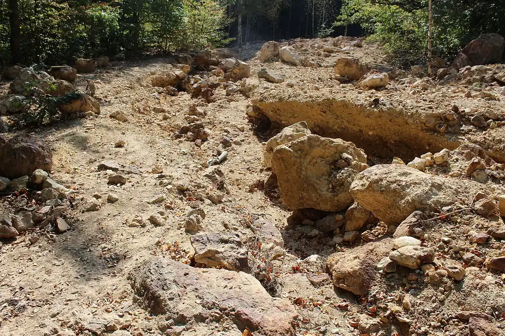
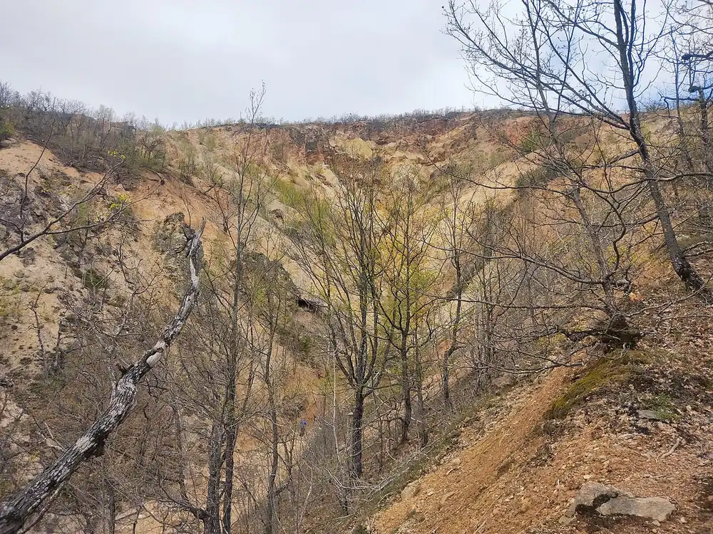
The formation packs into a surprisingly small ravine. The core pyramid field covers only a few thousand square metres (the UNESCO submission cites about 4,300), while the wider protected natural monument runs to roughly two-thirds of a square kilometre. That compactness is worth knowing before you visit: the walk itself is short, more a loop around a natural sculpture garden than a hike, and the reward is in looking closely rather than covering ground.
The two red springs, and why you should not drink them
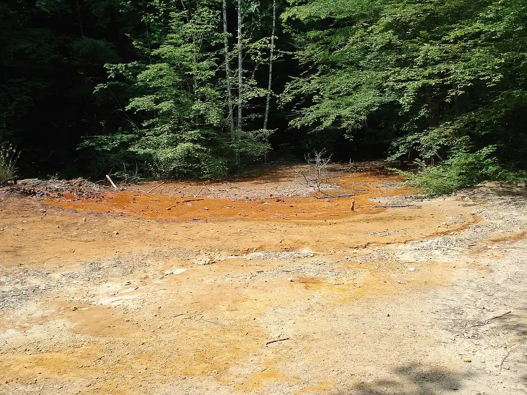
The pyramids get the photographs, but the two springs are the detail that makes Đavolja Varoš genuinely rare, and they are half the reason the monument is protected at all. The first, Đavolja voda (Devil’s Water), is extraordinarily acidic. Figures cited for it put the pH down around 1.5, closer to battery acid than to anything you would call water, with a mineral load somewhere near 15 grams per litre. The second, Crveno vrelo (the Red Spring), earns its name from the rusty iron-red stain its water leaves on the rock around it.
Both are heavily mineralised and firmly undrinkable, which is the practical point to take away: this is not a mountain spring to refill your bottle from, however inviting the trickle looks. Local tradition holds that the red water is good for the skin rather than the stomach, a piece of folk belief you can file alongside the legends below. The acidity and the strange chemistry also feed the origin stories, because to anyone without a geology textbook, water that burns and stains red running through a field of stone figures reads as something closer to a curse than a coincidence.
The legend of the petrified wedding
Every strange landscape grows a story to explain it, and Devil’s Town has a good one. The best-known version tells of a wedding party making its way up the mountain, until some transgression against the natural order (an incestuous match, in the darker tellings) provoked a divine or diabolical response. In a blink the whole procession was turned to stone where it stood, and the roughly two hundred pillars are the guests, the couple and the piper, frozen forever. It is a neat piece of storytelling: the number of towers and the number of doomed wedding guests line up at around two hundred, which is no accident, since the tale grew up precisely to account for the crowd of figures.
The name itself belongs to the same imagination. Gullies flanking the site carry names like Devil’s Gully and Hell’s Gully, and the acid springs were long thought to be the devil’s own doing. None of this is history, of course, but it is worth arriving knowing the story, because the site is far more evocative when you can see the wedding party in the stone rather than just a geological curiosity. Come at the end of the day, with the light going long and the ravine emptying out, and the petrified-crowd idea does not feel like much of a stretch.
Tickets, opening times and what the visit is actually like
Đavolja Varoš is a managed natural monument with an entrance, a small ticket booth and a marked trail, not a wild site you stumble onto. Admission is modest: the official rate is 350 RSD for adults and 300 RSD for school groups, roughly three euros, and you simply pay at the gate rather than booking ahead. Cash in dinars is the safe assumption out here. Prices and opening hours do drift, so treat these figures as a guide checked in July 2026 and confirm before committing to a long drive.
Timing matters more than the price. The site is closed through the winter, roughly December to March, when snow and ice make the ravine unsafe, and in season it keeps daytime hours in the region of 08:30 to 17:00. From the ticket area a path leads down and around the pyramid field on walkways and steps, with viewpoints over the two main clusters and past the springs; visitor accounts differ on the exact layout and how much is currently open, so take the marked trail as it comes rather than expecting a fixed circuit. The walk is short, well under an hour at a gentle pace, but it drops and climbs, so decent shoes beat sandals.
Set expectations sensibly and you will not be disappointed. This is not a half-day attraction in its own right; the pyramids are compact and the visit is quick. Its value is as a genuinely unusual stop woven into a wider day in the south, ideally paired with the spa village of Prolom Banja a short drive away, or with the monasteries around Kuršumlija, which is exactly how the organised tours tend to package it.
How to get to Devil’s Town
Location is the real obstacle with Đavolja Varoš. It sits high on Radan Mountain in the municipality of Kuršumlija, tucked into deep southern Serbia, about 27 kilometres from the town of Kuršumlija itself and nowhere near a rail line or a bus stop you would want to rely on. From Belgrade it is a haul of roughly 288 kilometres, three and a half to four hours of driving south on the motorway toward Niš and then off onto smaller roads through Prokuplje and Kuršumlija. That is a lot of car for a short walk, which is why doing it as a same-day return from the capital makes for a punishing day.
The far more comfortable base is Niš, Serbia’s southern city, only around 89 kilometres and an hour and a half to two hours away by road. If you are already spending time in the south, treat Devil’s Town as a morning out from there; our guide to getting from Belgrade to Niš covers reaching the city itself by bus, train or car. A car of your own is the simplest way to do it, since the final approach is well signposted from Kuršumlija but has no useful public transport, and having your own wheels lets you fold in Prolom Banja or a monastery without waiting on a timetable.
If you would rather not drive the mountain roads yourself, an organised day tour is the sensible alternative, and plenty run from both Belgrade and Niš, usually bundling the pyramids with the springs, a spa stop and the nearby monasteries so the long transfer earns its keep. However you arrive, the takeaway is the same: plan the journey around the distance, not around the size of the site.
Devil’s Town works best as one strange, memorable beat in a longer swing through the south rather than a destination you build a trip around. For the natural base city an hour and a half down the mountain, read our guide to Niš, which makes the obvious launch point; browse more of the country’s landscapes and monuments in the attractions section; and if you are minded to see the whole country by car, the far south features on our 10-day Serbia road trip. Time your visit late if you can: the geology explains the towers, but it is the quiet after the last tour bus pulls out, low sun raking across two hundred stone figures, that fixes the place in your memory. And whatever the hour, leave the springs to the photographs and do not drink the water.
Photos
On the map
The map loads on click - to keep the page lightweight.
The map didn’t load. Check your connection and refresh the page.
Admission and opening hours
- Admission price
- 350 RSD adults, 300 RSD school groups (about €3)
- Opening hours
- Roughly 08:30-17:00 in season; closed December to March
Pay at the entrance, no advance booking needed. Prices and hours change - confirm before a long drive.
Details checked: July 4, 2026
Distance
- Belgrade≈288 km · about 3.5-4 h by carSouth on the motorway toward Niš, then via Prokuplje and Kuršumlija - too far for a comfortable self-drive day trip, easier as an overnight or an organised tour.
- Niš≈89 km · roughly 1.5-2 h by carThe nearest big city and the most sensible base for the drive up onto Radan Mountain.
Read also
Best Day Trips from Belgrade
Verified · July 4, 2026The best day trips from Belgrade, sorted by real travel time: which are a true there-and-back day, which need an overnight, and how to reach each.
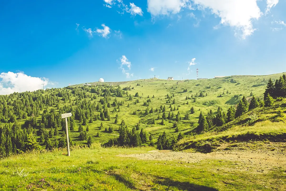
Kopaonik: Serbia's Top Ski & Spa Resort
Verified · July 4, 2026Kopaonik is Serbia's biggest ski resort and a national park: the pistes and lifts, the 2,017 m Pančić peak, summer hiking, spas and how to get there.
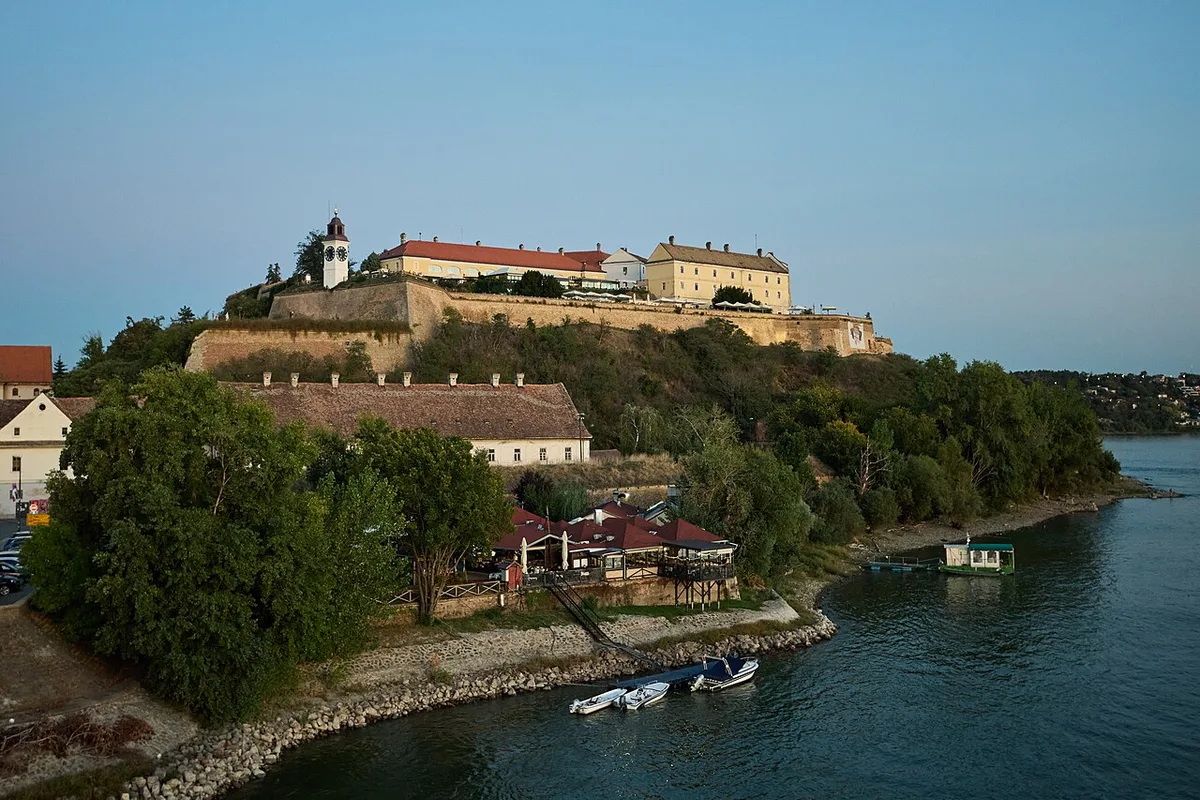
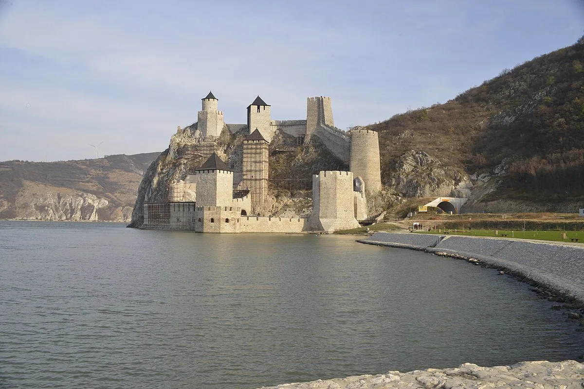
Petrovaradin Fortress: Novi Sad's Gibraltar
Verified · July 4, 2026A deep dive into Petrovaradin Fortress: the star-fort design, the 1716 battle, 16 km of underground galleries and the artists who live on the ramparts.
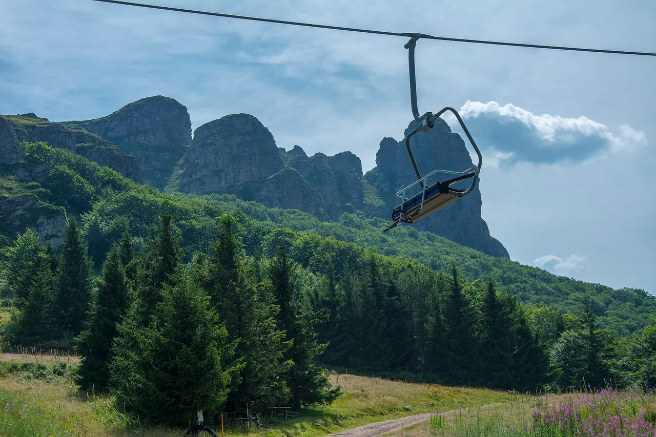
Stara Planina: Serbia's Wild Eastern Mountains
Verified · July 4, 2026Stara Planina, the wild Balkan range on the Bulgarian border: Midžor peak, the Tupavica and Pilj waterfalls, the stone village of Gostuša and Babin Zub.