
Sombor: Vojvodina's Greenest Town
Sombor travel guide: 121 km of tree alleys, the fijaker stand, County Hall with Eisenhut painting, and Gornje Podunavlje wetlands.
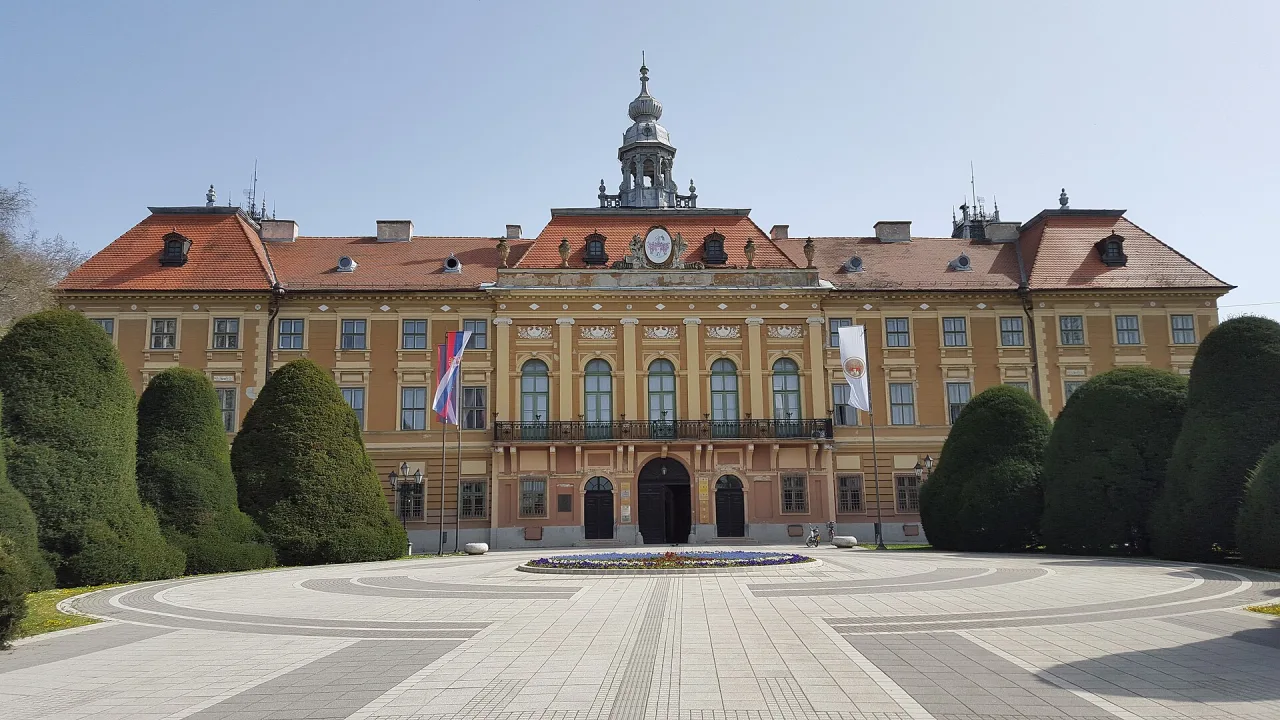
Sombor is the Vojvodina town you feel under your feet before you finish the first block: a continuous roof of leaves, horse hooves somewhere near the squares, and civic buildings that still dress like a county capital. The Tourist Organization of Sombor counts 121 km of tree alleys, nine squares, four parks and more than 18,000 trees, and it calls this the greenest city in Serbia. Come for a slow half-day in the centre, or overnight when you’re looping the north - it sits 60 km from Subotica, 100 km from Novi Sad, and 175 km from Belgrade.
It isn’t trying to out-shout its neighbours. Subotica wins on Art Nouveau; Novi Sad has the fortress and the river beach. Sombor’s pitch is different: shade, a working fijaker culture, and a wetland reserve on the doorstep that locals nickname the European Amazon.
Getting there without expecting a high-speed stop
Sombor sits in the extreme northwest of Bačka, with Hungary to the north and Croatia across the Danube to the west. The altitude around town is only about 90 m, so the horizon stays flat and the weather feels continental.
There is no Belgrade-style Soko sprint into the station. You arrive by car, by bus, or by regional rail that already serves Novi Sad and Subotica. Treat published aggregator times as orientation only and confirm the day’s departures on srbijavoz.rs or at the bus station - schedules shift, and this corridor is not the Prokop-to-Novi Sad showpiece.
By road the town slots cleanly into a northern loop. The published Vojvodina loop already treats Sombor as a stop between the wine-and-monastery south and the Art Nouveau north; an overnight here breaks the drive without forcing another late arrival in a bigger city.
Why the green claim is not just a slogan
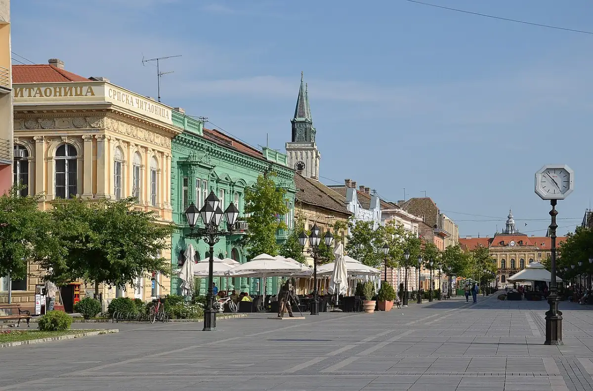
The Tourist Organization is unusually specific. Streets total about 120 km; the famous alleys stretch 121 km. That near 1:1 ratio is the point - greenery isn’t a pocket park bolted onto a concrete grid. Late-19th-century municipal planting put shade on the central streets; the trees people still talk about as bođoši were brought from the Mississippi valley in 1903. Local guides treat them as American hackberry (Celtis); walk those corridors in July and you’ll understand why shade is the town brand.
The “greenest in Europe” line appears in tourist copy. Stick with the measurable local claim: for a Serbian city of this size, the canopy is exceptional, and you notice it within minutes of leaving the station.
The fijaker is still on the street
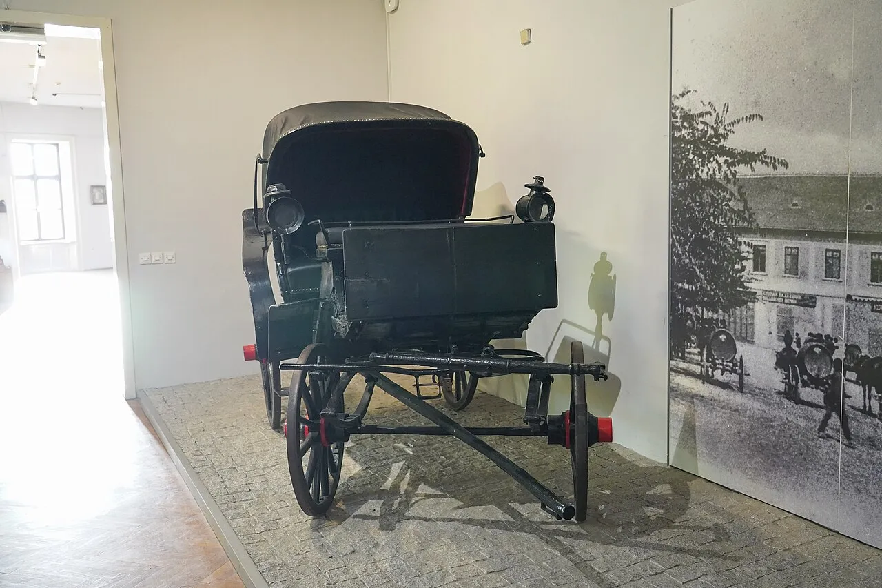
Sombor’s other emblem is the fijaker - the horse-drawn carriage. The tourist office says it still moves through the centre and waits for passengers at fijaker plac, the carriage stand. Serbia’s national tourism site frames it as living practice, not a costume for a photo stop.
You’ll also meet the fijaker indoors: the City Museum keeps historic carriages in its collection, which helps separate “ride available today” from “heritage object under glass.” For a live ride, ask at the tourist office on Trg Svetog Đorđa 1 or at the stand itself. Current fares are not published as a fixed tariff online, so treat the price as something you confirm on the spot.
A centre built when this was a county capital
Maria Theresa granted Sombor Free and Royal City status in 1749. In 1786 it became the seat of Bács-Bodrog County, which then covered a map that included Subotica and Novi Sad. That administrative pride shows in the masonry - and you’ll feel it on a short walk.
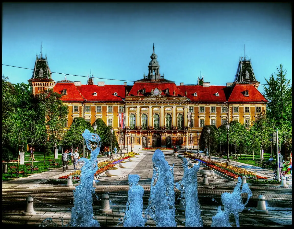
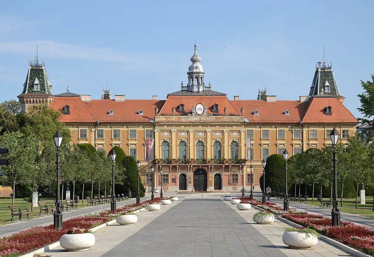
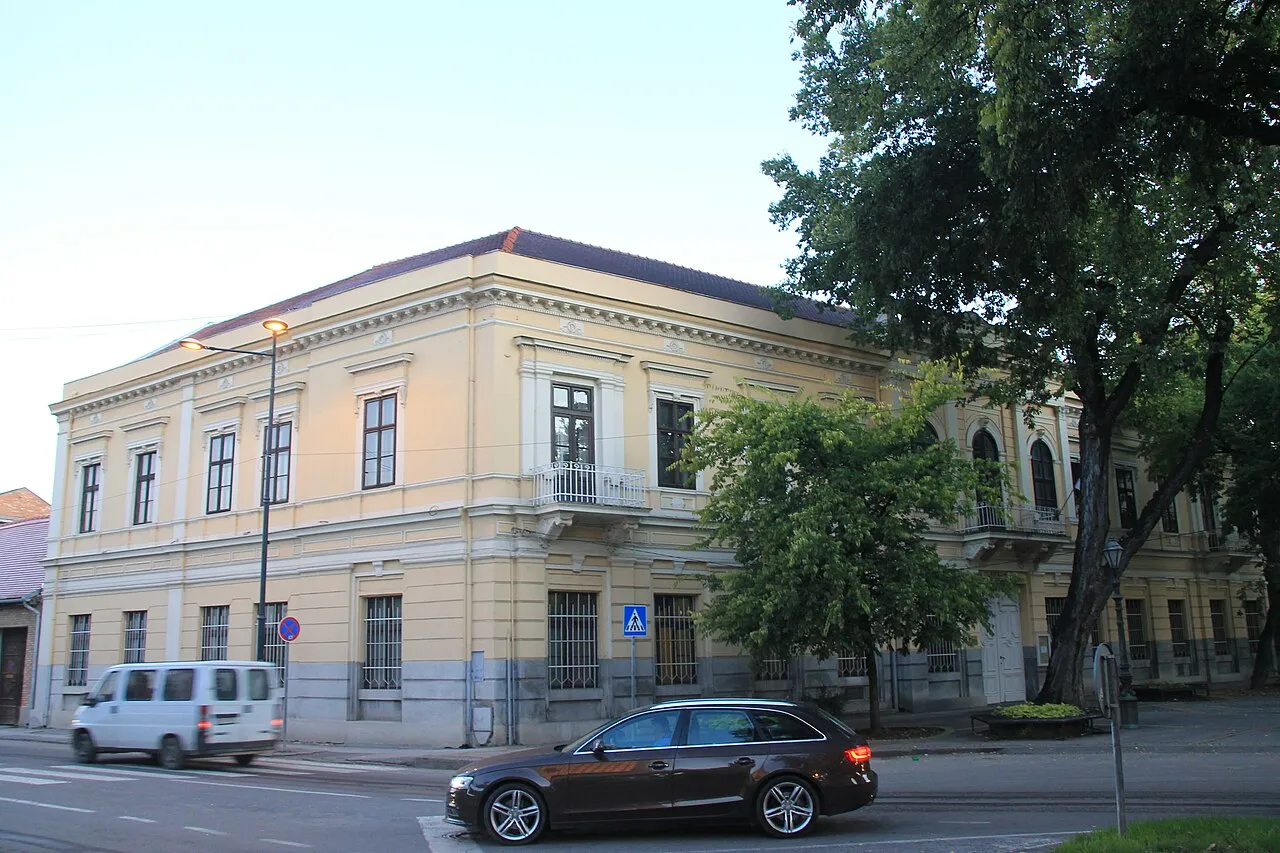
Start with the Županija (Bačko-Bodrog County Hall). The front was finished in 1808; the building took its present eclectic look in 1882. Inside the grand hall hangs Ferenc Eisenhut’s monumental Battle of Senta - the painting Serbia’s tourism board and the tourist office both flag as the building’s highlight. Opening hours for the hall can vary with events, so check at the tourist office before you plan a morning around it.
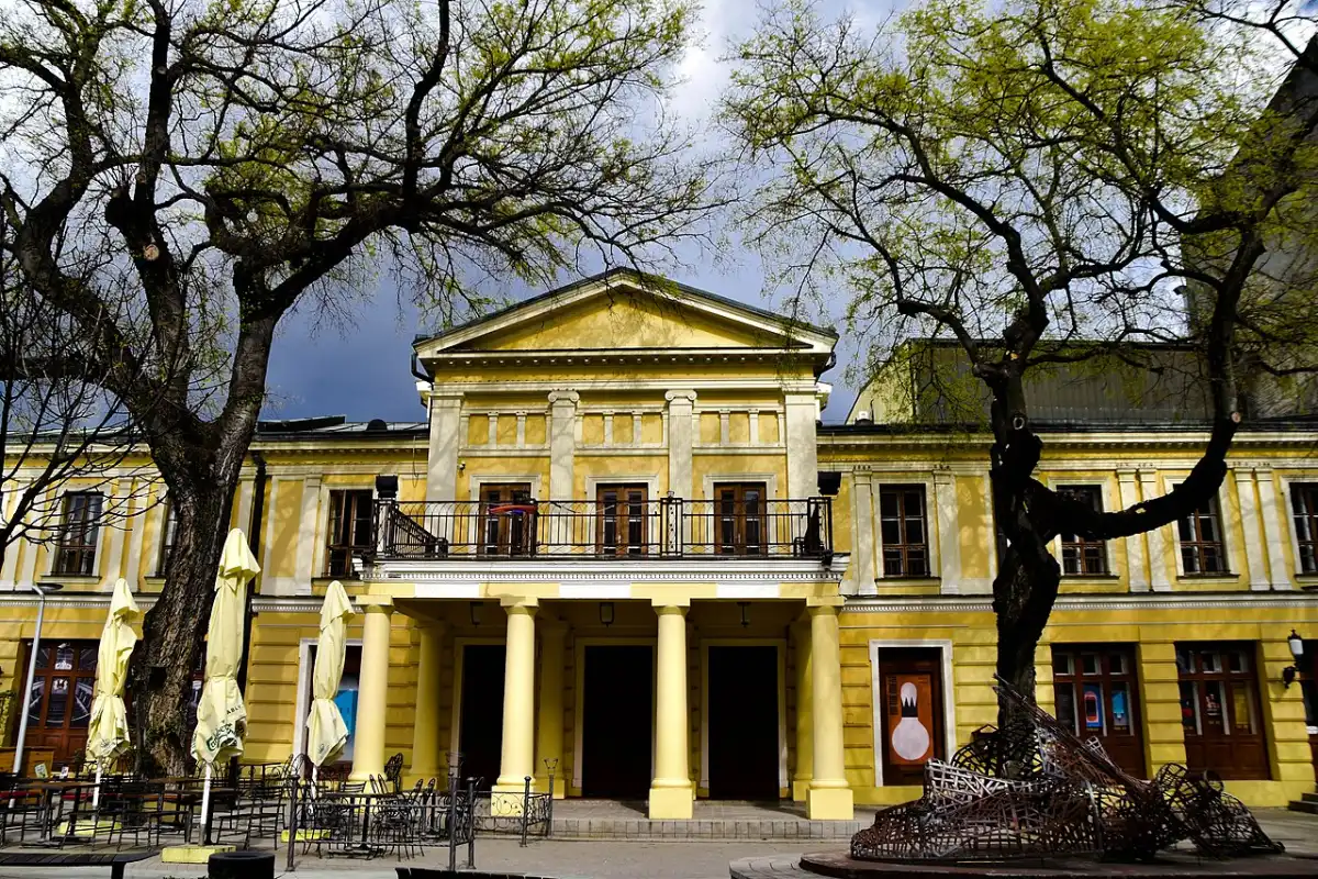
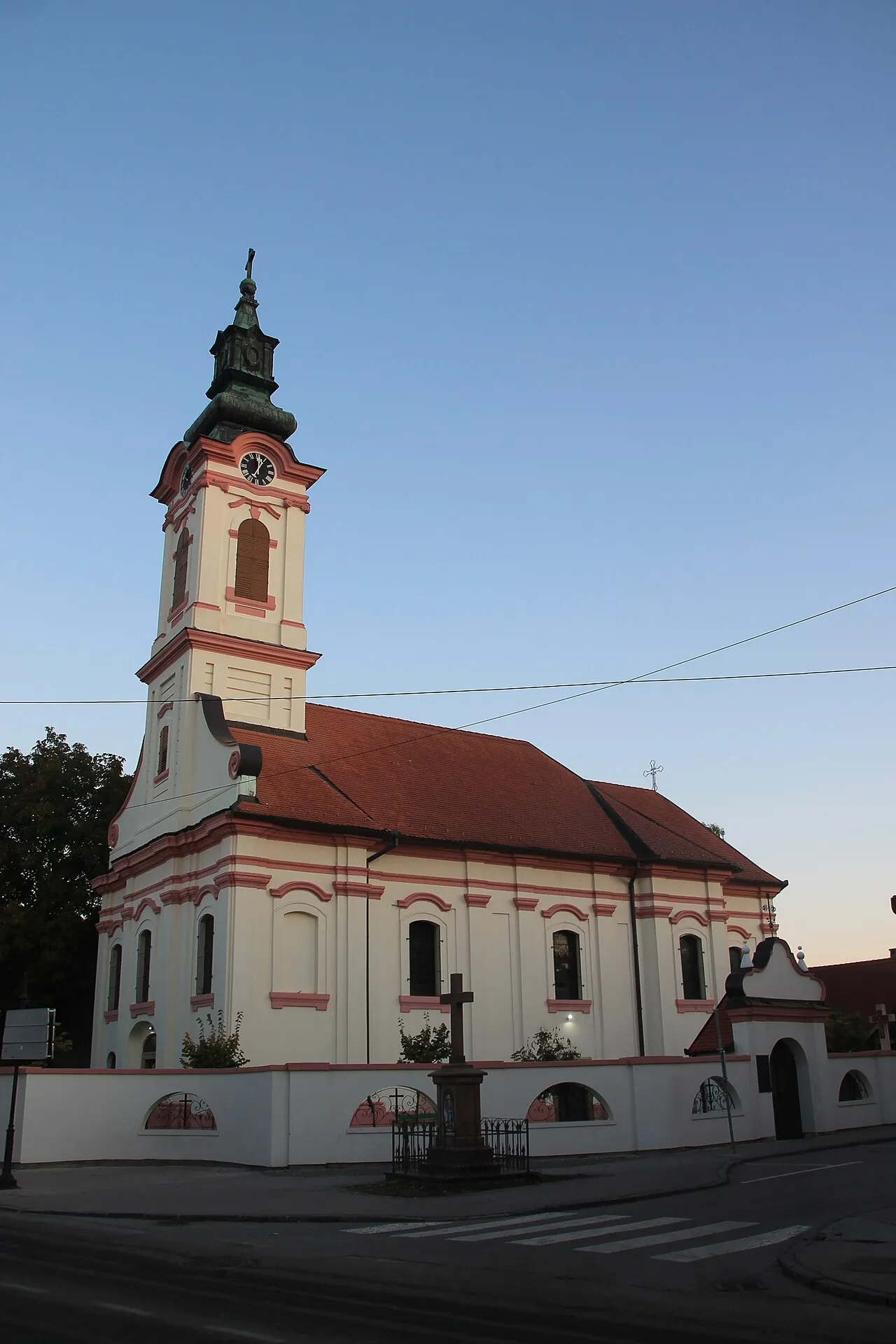
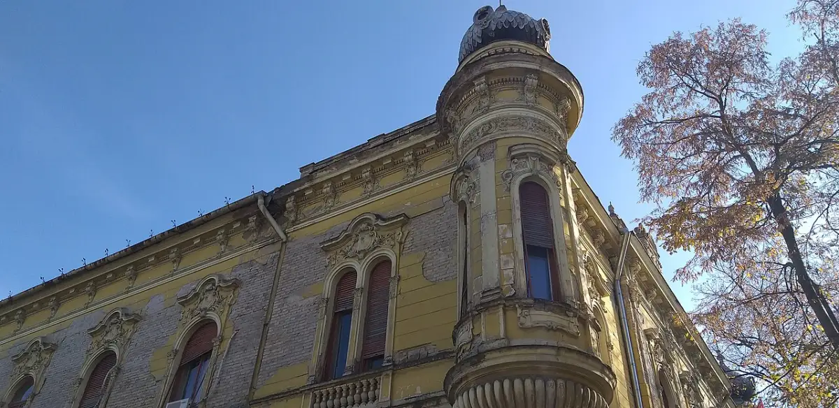
Nearby, Holy Trinity Square carries the old City Hall, and the pedestrian streets fan out into cafes under the canopy. The National Theatre building dates to 1882. Orthodox St. George (built 1759-1761) and Catholic Holy Trinity (1752-1763) mark the town’s dual Christian history; the Carmelite complex from 1904 adds a later Catholic chapter. Don’t rush it - you can cover the civic core on foot in two unhurried hours.
Teachers, painters, and a museum that explains the plain
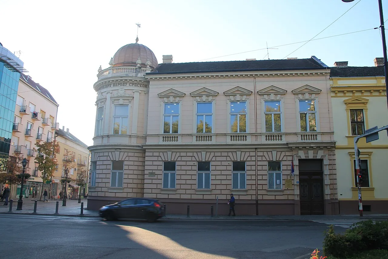
Sombor has punched above its weight in education and painting for a long time. The Preparandija teacher-training tradition stretches back to Avram Mrazović’s Norma in 1778; the historic building still anchors that story and now hosts galleries dedicated to Sava Stojkov and Pavle Blesić. The Milan Konjović Gallery keeps the town’s best-known modern painter in the spotlight - his Bačka landscapes make more sense after you’ve walked the same flat light yourself.
The City Museum ties archaeology, ethnography and local history together, and it’s where the historic fijaker sits. Between museum, Preparandija and a Konjović stop, you can fill a rainy afternoon without leaving the centre. A short walk from that civic core brings you to the Orthodox Church of St John - one of the few vertical landmarks in a town that otherwise stays horizontal under the canopy.
Gornje Podunavlje: the wetland behind the alleys
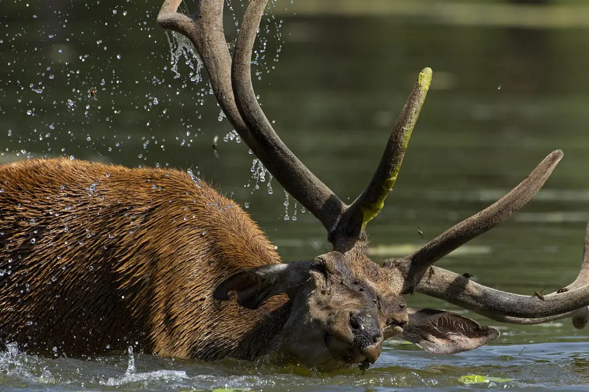
The town doesn’t end at the last facade. West and southwest, the Danube floodplain becomes Special Nature Reserve Gornje Podunavlje - 19,605 hectares in the management plan 2021-2030, Category I protection since 20 July 2001, managed by JP Vojvodinašume. In 2017 the wider landscape entered UNESCO’s list as the Bačko Podunavlje Biosphere Reserve (decision 14 June 2017). The tourist office links the reserve to black storks, white-tailed eagles and Serbia’s largest floodplain deer population, and folds it into the cross-border “European Amazon” story.
Practical access often runs through villages such as Bački Monoštor and Bezdan - boat trips, cycling tracks and fish čardas, not a ticketed theme park. Arranged visits and eco-centre stops change with season and water levels; book through the tourist office or the reserve managers instead of turning up at a random levee.
Who this stop is for
By the 2022 census, about 41,800 people live in the urban core and 70,800 in the wider municipality. The tourist office describes a mixed place - roughly 61% Serbs, 13% Hungarians, 8% Croats among 21 registered nationalities - and shop signs and church calendars still show that spread. It’s a second-tier town by visitor volume, which is exactly why it works: you get civic architecture and a real evening street without Belgrade queues.
A realistic day: morning canopy walk and County Hall, lunch in the centre, museum or Konjović after, fijaker if the stand is working, then either drive out toward the wetlands or stay put for a tamburitza evening. Pair it with Subotica’s Secession facades the next day, or fold it into the published Vojvodina road loop.
Where to sleep in a quiet centre
Supply is smaller than Novi Sad’s, so weekends and festival dates fill earlier than the empty sidewalks suggest. Stay near the pedestrian streets so you can walk everywhere after dark - taxis exist, but you won’t need them for the civic core. Compare options before you arrive; small towns here still skew toward guesthouses and a handful of hotels, not a deep chain roster.
Practical notes
- Tourist office: Tourist Organization of Sombor, Trg Svetog Đorđa 1, phone listed on visitsombor.org as +381 25 434 350 - confirm hours on arrival.
- What you’ll spend: A centre lunch and coffee still undercut Belgrade; for plates look to Bačka paprika stews, river fish from the Danube villages, and poppy-seed or cherry sweets in town cafes.
- Onward: Subotica is the Art Nouveau half-day to the northeast; Novi Sad is the bigger base to the southeast. The Vojvodina loop stitches both with Sombor in between.
Sombor’s argument is simple once you’ve walked it: the canopy is the attraction, the fijaker is still real enough to ask about, and the wetland behind town turns a pretty centre into a full stop. Give it the night, not just the coffee break.
Photos
On the map
The map loads on click - to keep the page lightweight.
The map didn’t load. Check your connection and refresh the page.
Distance
- Belgrade ≈175 km · About 2.5-3 h by car or bus Northwest across Vojvodina; no Soko-style fast rail into Sombor itself - rail links are regional via Novi Sad or Subotica. Confirm bus and train times at the station or on srbijavoz.rs.
- Novi Sad ≈100 km · Roughly 1.5-2 h by bus or regional train Direct regional trains and buses; check current departures before you leave.
Read also

Cities · 12 min read
Valjevo: Old Town, Museums and Two Rivers
Verified · August 19, 2026Valjevo travel guide: Tesnjar, the Muselim Residence, Nenadovic Tower, the cathedral, and how to reach the town by train or car.

Cities · 9 min read
Sokobanja: Spa Under Rtanj Mountain
Verified · August 13, 2026Sokobanja spa guide: Ottoman hammam, respiratory air, Rtanj hikes, Bovan Lake and how to reach the town from Niš or Belgrade.

Cities · 10 min read
Vrnjacka Banja: Serbia's Top Spa Town
Verified · July 25, 2026Vrnjacka Banja is Serbia's most visited spa town: seven mineral springs, the Bridge of Love padlocks, a green park and Lovefest each August.

Cities · 12 min read
Sremski Karlovci: Wine Town on the Danube
Verified · August 16, 2026Sremski Karlovci guide: the 1699 peace treaty and its four doors, 20 wine cellars, what bermet really is, and the bus from Novi Sad.