
Uvac, Zlatar and Mileševa Loop: 2-Day Road Trip
A 640 km weekend loop from Belgrade: Uvac meanders and griffon vultures, the Zlatar lakes, the Pester plateau and the White Angel at Mileseva.
Two days and about 640 km buy you the strangest corner of Serbia: the looping Uvac meanders, the largest colony of griffon vultures in the Balkans, a boat ride into an ice cave, the highest and coldest plateau in the country, and the most reproduced fresco in Serbian art. The loop runs Belgrade - Zlatibor - Nova Varoš - Uvac - Sjenica - Mileševa - Belgrade, and it fits a weekend as long as you sort one thing before you leave.
That one thing is the boat. You can’t turn up at Uvac and get on the water: the reserve’s own manager, Rezervat Uvac in Nova Varoš, asks visitors to book in advance, and the boats leave from three separate landings an hour of mountain road apart. Which one you ring decides where you sleep and how early the alarm goes off. The prices are posted and refreshingly small - 10,000 dinars for a whole 12-person boat, or 1,000 dinars a head if you join one - but nobody explains the geography until you’re already driving.
Is two days enough for Uvac?
Yes, but pick your Uvac outing deliberately rather than at the trailhead. The reserve sells a combined trip - boat out, Ice Cave, climb to a viewpoint - that runs four to six hours. Take the long version and you’re back at the car at four with Pešter, Mileševa and 286 km still ahead. Take the short one, or the plain three-hour cruise, and day two lands you home at a civilised hour.
Two days also suits what this corner is. No queues, no ticket halls, no coach parks; it’s shepherds’ country with a nature reserve in the middle. For the greatest-hits version of western Serbia - the Šargan Eight railway, Drvengrad, the Drina canyon - our 4-day western Serbia loop covers that gentler trip.
You need your own car, and not just for convenience: there’s no public transport to a boat landing or a viewpoint at all. Our guide to car rental in Serbia covers deposits and why nearly every car here’s a manual, and driving in Serbia explains the tolls: no vignette, ticket in, pay by distance.
Day one: Belgrade to the Zlatar lakes
Leave after breakfast. The A2 “Miloš Veliki” motorway (E763) takes the pain out of the first half: it runs 150 km southwest from Belgrade, and the final section to Požega only opened in July 2025, punched through the hills by the Laz and Munjino Brdo tunnels, roughly 2.8 km each and the longest road tunnels in the country (published lengths differ by a hundred metres or so, because each is twin-tube and the bores aren’t equal). It isn’t the slog it used to be, right up until the motorway stops dead at Požega and hands you back to a two-lane road through Užice.
It’s a cheap weekend by Western European standards: two days self-driving, with a mid-range room, a couple of restaurant meals, fuel, tolls and the reserve fees, starts around €130 a person.
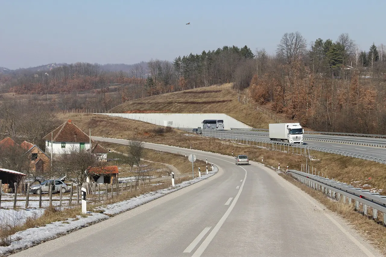
Break at Zlatibor, about 220-230 km and three hours out: eat and fill the tank. Our Zlatibor guide covers the Gold Gondola and Stopića Cave if you’d rather stay the afternoon.
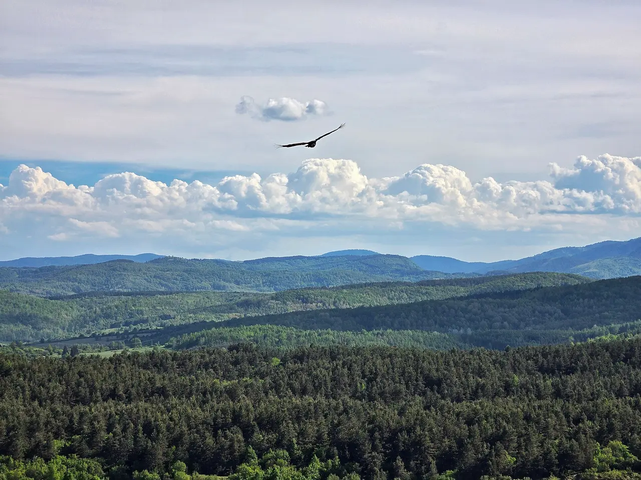
From Zlatibor it’s another 33 km, about 45 minutes, down to Kokin Brod, where the dam of the Zlatar lake sits within sight of the main road. It’s the softest introduction to the Uvac lake system: catamarans run for a minimum of two hours at 7,000 dinars a boat (3,000 per further hour) or 700 dinars a head, passing the Čolovića stene cliffs where the vultures perch.
Around you is Zlatar, a pine-covered range between Nova Varoš and Prijepolje that tops out at 1,627 m and carries four artificial lakes. Serbs come here to breathe: at 1,237 m there’s a 330-bed rehabilitation hospital trading on the mountain air. Nova Varoš, your base, has about 7,500 residents and the pace to match.
Where to sleep on the loop
Day two is decided by how far you sleep from the Krstac landing, where this loop gets on the water.
Nova Varoš is the default: on the day-one line, a quarter of an hour from the Zlatar dam, and 41 km, about an hour, from Krstac in the morning. Fine for a boat at ten.
Sjenica is the move if you want the early departure. Driving on from the dam takes about an hour instead of fifteen minutes, so it’s close to a wash - you do that hour in the evening and wake up 7 minutes from the landing. The town is plainer; you’re trading the nicer evening for the earlier boat.
Zlatibor is the comfortable option - more hotels, better food, a promenade to walk off dinner - but Krstac is 78 km and nearly two hours away, which eats the morning whole. Where to stay in Zlatibor sorts through those beds if the hotel matters more than the early meander.
The boat: which landing you leave from
The price list, the Ice Cave, the vulture colony and the booking rules are all laid out in our Uvac canyon guide, so this page only covers the thing no price list explains: the geography of the landings. The reserve runs boats from three separate landings, and this loop uses Krstac, or its twin Markova Ravan, both 5-6 km from Sjenica - the side of the canyon the road home runs through. The third, Rastoke, sits 12-13 km and 16 minutes from Nova Varoš: same boat, same price, wrong side of the canyon for this loop. Whichever you choose, ring the office in Nova Varoš a few days ahead in July and August, and bring dinars.
Molitva or Veliki Vrh: pick the viewpoint by the clock
The walks themselves - Molitva at about 6 km each way from Krstac, Veliki Vrh a 500 m stroll from the Gornje Lopiže trailhead - are described in the Uvac canyon guide; what matters on a two-day loop is the clock. Molitva as part of the combined boat trip means walking those 6 km back along the shore and reaching the car around four, with Pešter, Mileševa and 286 km still ahead. Veliki Vrh is the shortcut if you’re skipping the boat, but the approach is 39 km and around 80 minutes from Nova Varoš, an average under 30 km/h: an hour of driving for a five-minute walk is the honest shape of Uvac, and the reason to decide at breakfast rather than at the trailhead.
Day two: across Pešter to Sjenica
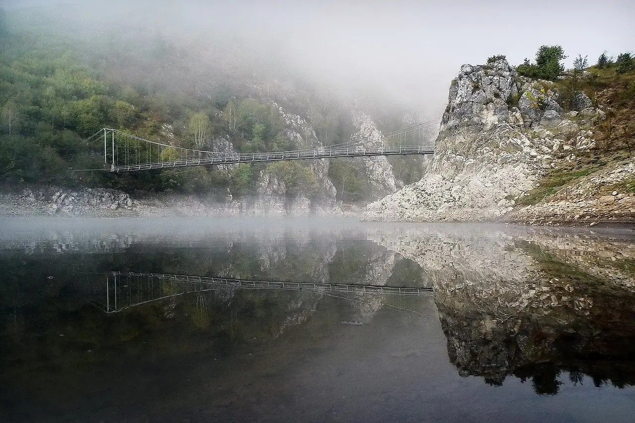
From Krstac it’s seven flat minutes into Sjenica, and the change of scenery is abrupt. Canyon country stops and the Pešter plateau begins: a bare karst tableland between 1,150 and 1,492 m, grazed by sheep and almost empty of people. Peštersko polje, the field at its heart, covers about 50 km² and is reckoned the largest field in Serbia and the highest in the Balkans. Since 1 May 2006, 3,455 hectares of its wet peat bog have been a Ramsar wetland of international importance - peat bog on karst is a freak of nature, and it’s the only place in Serbia where Montagu’s harrier nests.
Sjenica sits at 1,026 m, one of the highest towns in the country, and the plateau’s party trick is the cold: below freezing on an average of 134 days a year, first frost in late September, last in early May. The coldest official reading in the municipality, -39 °C, came from Karajukića Bunari on 26 January 2006, beating the -38.4 °C measured in Sjenica in 1954. Locals call the plateau the Siberia of Sandžak, and they aren’t being poetic.
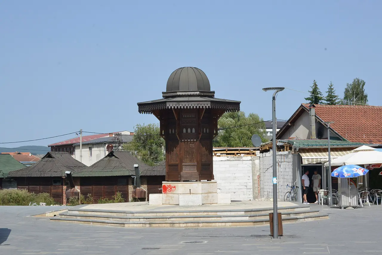
All that grass and cold pays off in one delicious way. Pešter lives off livestock, and its dairy is famous across Serbia: Sjenica cheese (sjenički sir), the lamb, the pršut. Buy it where the sheep are, not in a Belgrade supermarket. With a spare day, Novi Pazar and the UNESCO monasteries around it are 56 km east.
Mileševa and the White Angel
Turn west and drop off the plateau toward Prijepolje: 44 km that take about 85 minutes, which tells you everything about the road. Mileševa stands in the valley of the Mileševka, the stream running right past the courtyard wall.
King Stefan Vladislav founded it between 1234 and 1236, and the first layer of frescoes went up in the 1230s. One of them is the White Angel, seated in white robes at Christ’s empty tomb: the most reproduced image in Serbian art, and startling in the flesh, paint nearly eight centuries old and a face that looks like someone you might meet.
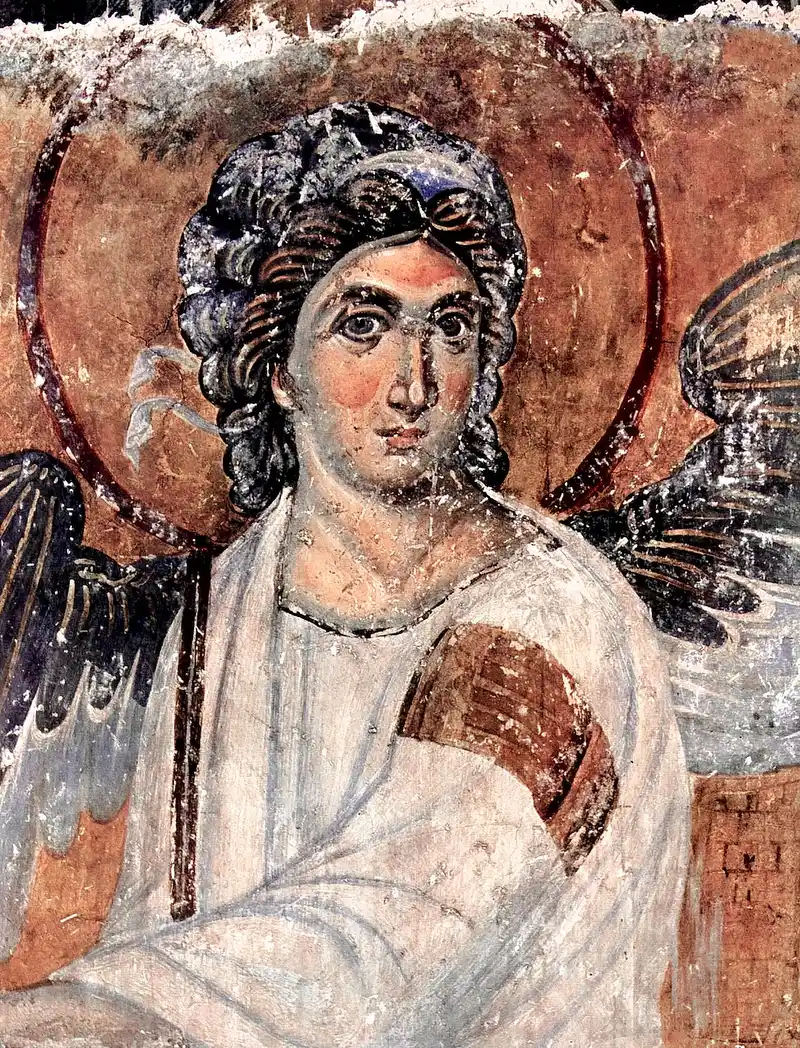
The building has had a violent life. In 1236 Vladislav brought the relics of his uncle Saint Sava here from Trnovo in Bulgaria, and in the 1590s the Ottomans took them to Belgrade and burned them publicly on Vračar hill - which is why the Temple of Saint Sava stands where it does. Some historians place the coronation of the Bosnian king Tvrtko I here in 1377; the Ottomans set the place alight in 1459; an 1863 restoration reshaped the church. It’s a working monastery, so the usual rules apply - modest dress, hours that bend around services, no photos inside - and our guide to Serbia’s monasteries sets out what to expect at the door.
The drive home, and the motorway that isn’t there yet
From Prijepolje it’s 286 km back to Belgrade, about four and a half hours: over the hills to Užice, then onto the A2 at Požega. Leave by mid-afternoon in summer, when the motorway into the capital fills with returning weekenders.
One footnote explains the whole trip. The unbuilt final leg of the A2, Požega to Boljare on the Montenegrin border, is 106.3 km of planned motorway that would run straight across the Pešter plateau near Sjenica, and the hardest stretch alone calls for 72 bridges and 10 tunnels. Build that, and Uvac becomes a comfortable day trip from Belgrade - with everything you liked about the emptiness going the same way. For now the mountain roads are the filter, and that’s why you’ll have a viewpoint to yourself on a Saturday in June.
What to know before you go
- Cash and a full tank. Beyond Nova Varoš and Sjenica the plateau is thinly settled: most villages sit on the rim of the field, some only lived in over the summer.
- Season. May to October is the window: boats run reliably, tracks are dry, vultures are up on the thermals. Winter is spectacular and hard, and winter tyres are legally required from 1 November to 1 April when there’s snow or ice.
- Book the boat first. It’s the only fixed appointment on the loop, and it dictates your bed, your alarm and your viewpoint.
- Take the small car. The reserve says the Gornje Lopiže trailhead is reachable by car, motorbike or even bicycle, so you don’t need a 4x4 - but a big rental buys you nothing on roads this slow.
Two days, 640 km, one phone call. Get that order right and the loop hands you the two images southwest Serbia is made of: a river bending back on itself under a griffon’s wing, and an angel painted eight hundred years ago at an empty tomb. Browse our other Serbian routes to bolt it onto a longer drive.
Route day by day
- Days on the road
- 2
- Distance
- ≈640 km
- Budget from
- 130 EUR
- Best season
- May, June, July, August, September, October
The route at a glance
-
Belgrade
Route startstop ≈0 min
Pick up the car, cross the Sava and join the A2 "Miloš Veliki" motorway (E763) southwest. It runs as far as Požega and no further, so the last stretch is two-lane.
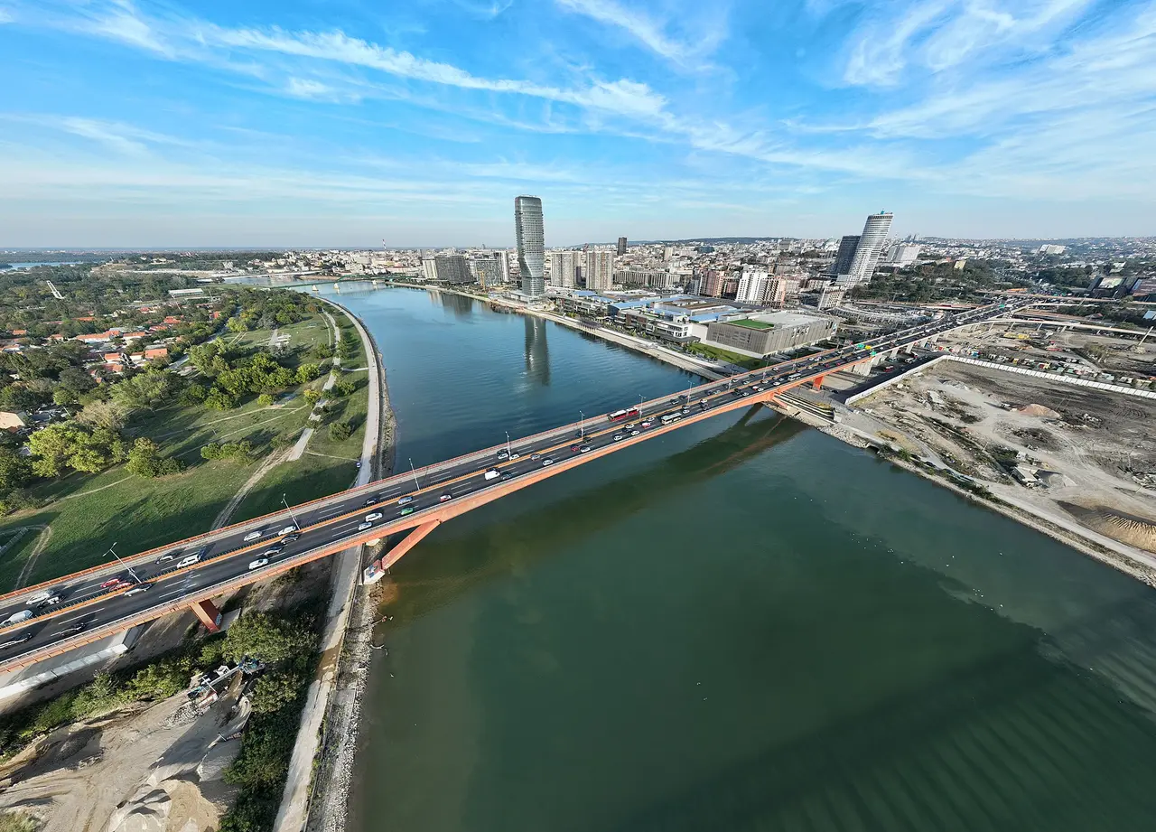
Photo: Petar Milošević / Wikimedia Commons, CC BY 4.0 ( source) -
Zlatibor
220 km from the startstop ≈120 min
Lunch stop on the plateau, about three hours out and the biggest resort town on the loop: eat, fill the tank and decide whether you are sleeping here or pushing on to Nova Varoš.
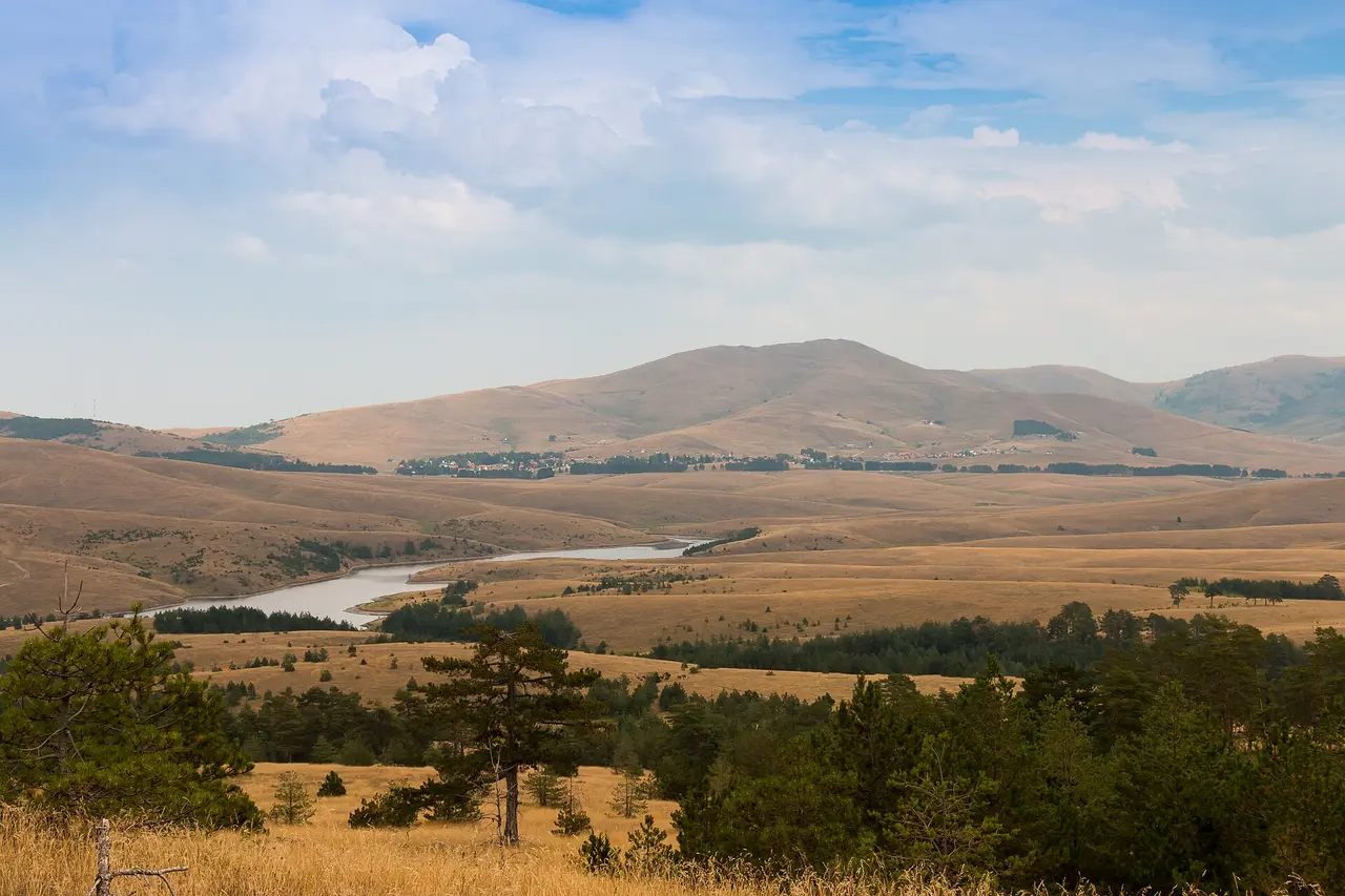
Photo: Luka Jankovic / Wikimedia Commons, CC BY-SA 4.0 ( source) -
Nova Varoš & the Zlatar lakes
262 km from the startstop ≈180 min
The Zlatar lake dam at Kokin Brod sits right beside the main road; catamarans run from here for a minimum two hours. Sleep in Nova Varoš, or push on to Sjenica to start day two 7 minutes from the boat.
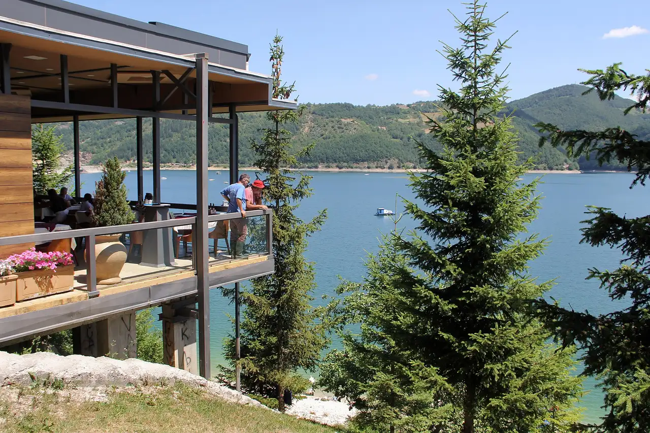
Photo: BrankaVV / Wikimedia Commons, CC BY-SA 4.0 ( source) -
Uvac: Krstac, the meanders and the Ice Cave
303 km from the startstop ≈300 min
This loop uses the Krstac landing, 5-6 km from Sjenica. Three hours on the water with the Ice Cave, or four to six if you add the climb to the Molitva viewpoint.
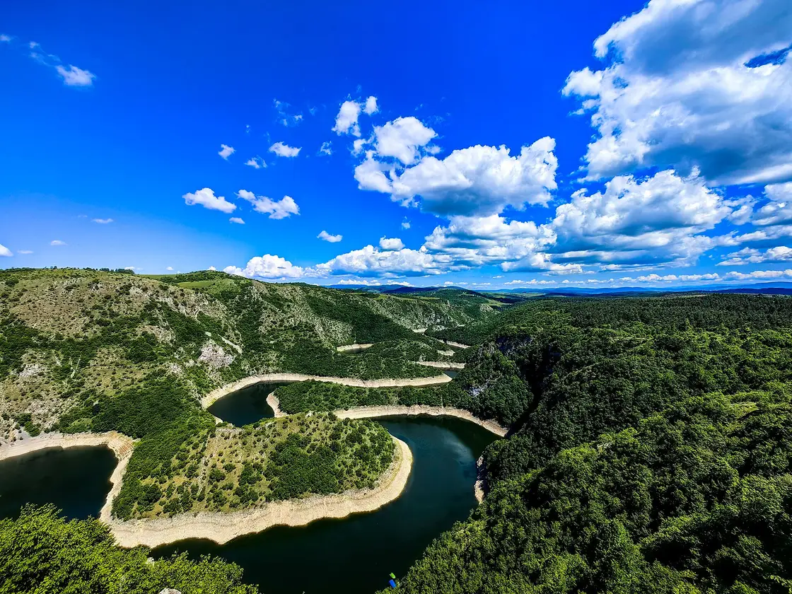
Photo: Boka97 / Wikimedia Commons, CC BY-SA 4.0 ( source) -
Sjenica & the Pešter plateau
310 km from the startstop ≈90 min
One of the highest towns in Serbia at 1,026 m, on the coldest, emptiest plateau in the country. Sjenica cheese, lamb and pršut are the reason to stop for lunch.
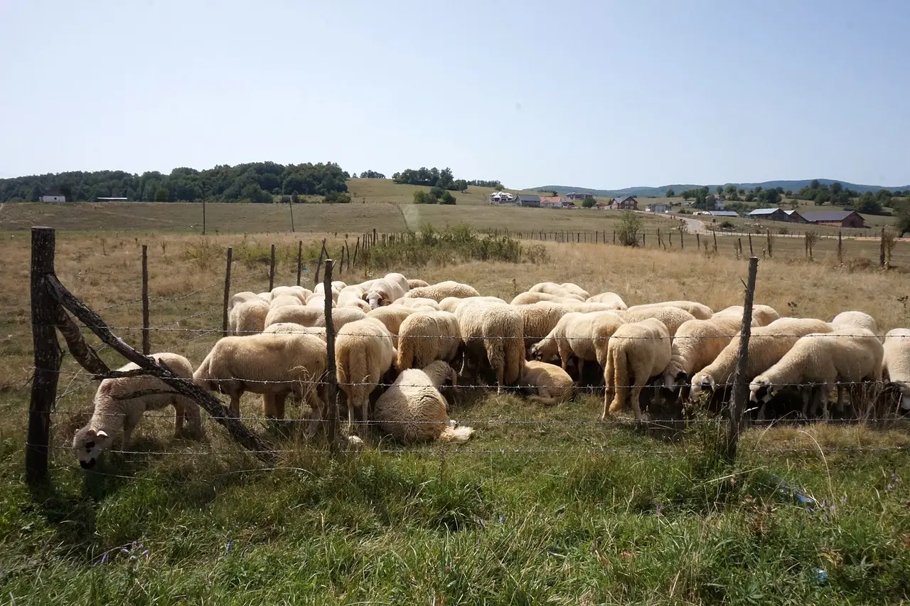
Photo: Miomir Magdevski / Wikimedia Commons, CC BY-SA 4.0 ( source) -
Mileševa monastery (Prijepolje)
354 km from the startstop ≈60 min
Founded by King Stefan Vladislav between 1234 and 1236 and home to the White Angel, the most reproduced image in Serbian art. The stream runs right past the wall.
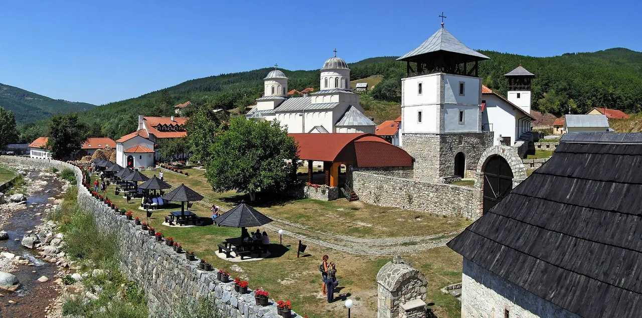
Photo: Pudelek (Marcin Szala) / Wikimedia Commons, CC BY-SA 3.0 rs ( source) -
Back to Belgrade
640 km from the startstop ≈0 min
From Prijepolje it is about 286 km home, roughly four and a half hours: back over the hills to Užice and onto the A2 at Požega.
Photo: BrankaVV / Wikimedia Commons, CC BY-SA 4.0 ( source)
Route map
The map with stops loads on click - to keep the page lightweight.
The map didn’t load. Check your connection and refresh the page.